:
Pangea, Laurasia, Gondwana: 240 million years ago to 250 million years in the future
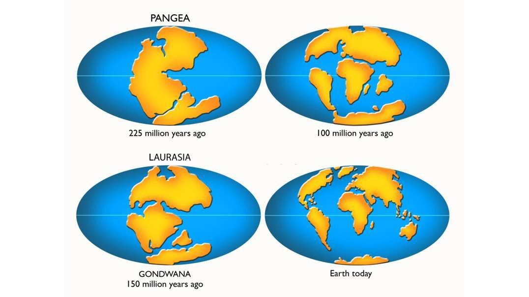
This animation shows the plate tectonic evolution of the Earth from the time of Pangea, 240 million years ago, to the formation of Pangea Proxima, 250 million years in the future.
The animation starts with the modern world then winds it way back to 240 million years ago (Triassic). The animation then reverses direction, allowing us to see how Pangea rifted apart to form the modern continents and ocean basins. When the animation arrives back at the present-day, it continues for another 250 million years until the formation of the next Pangea, "Pangea Proxima".
This question often come up. " Why dont you show East Africa rifting away from the rest of Africa?".
Here's why:
- Often, oceans open around a three-armed rift system called a “triple junction”. Only two arms of a triple junction open to form ocean basins. . In the case of East Africa, the Red Sea and Gulf of Aden are the two successful rifts. The East African rift sytem, starting at the Afar Triangle, in Ethiopiais an aulacogen or “failed arm” of a triple junction The East African rift system is a failed rift, much like the Benue Trough in the South Atlantic or the Labrador Sea in the North Atlantic.
- Let’s step back and ask the question, “What caused the rifting of the Red Sea , Gulf of Aden and East Africa in the first place? Though the Afar hotspot certainly helped to weaken the lithosphere, The driving force that caused the rifting was the subduction (beneath Eurasia , i.e., Iran) of oceanic crust attached to the northern margin of Arabia. (There was ocean an ocean between Arabian and Iran.) This subducting slab “pulled” Arabia northward tearing it away from Africa. This subduction zone has been completely destroyed by the collision of Arabia and Eurasia (Zagros Mountains). Consequently, there is no longer any “plate tectonic forces” acting on the African rifts and they will not continue to open.
- Also, if we look at the plate tectonic neighborhood of East Africa, we see that the dominant motion of plates in the western Indian Ocean is N-S, rather than E-W . In fact, a new subduction zone is just beginning in the central Indian Ocean (a zone of diffuse earthquakes ~ 5-10 S) that will continue to pull Australia and Antarctica northward towards Asia. In other words, there is no room for East Africa to expand towards the east. Rather the east coast of Madagascar will become a strike-slip margin accommodating the continued, northward movement of the Australian-Antarctic plate.
I hope this explanation is helpful. Of course all of this is scientific speculation, we will have to wait and see what happens, but this is my projection based on my understanding of the forces that drive plate motions and the history of past plate motions. Remember: “The past reveals patterns; Patterns inform process; Process permits prediction.”
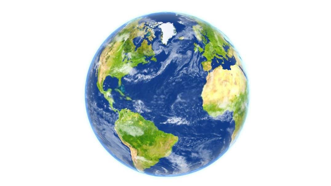
Notice how the areas of green (land), brown (mountains), dark blue (deep sea), and light blue (shallow seas on continents), changes throughout time. These changes are the result of mountain-building, erosion, and the rise and fall of sea level throughout time. The white patches near the pole are the expanding and contracting polar icecaps.
The first part of the animation is a global view. The second part of the animation is a closeup view.

